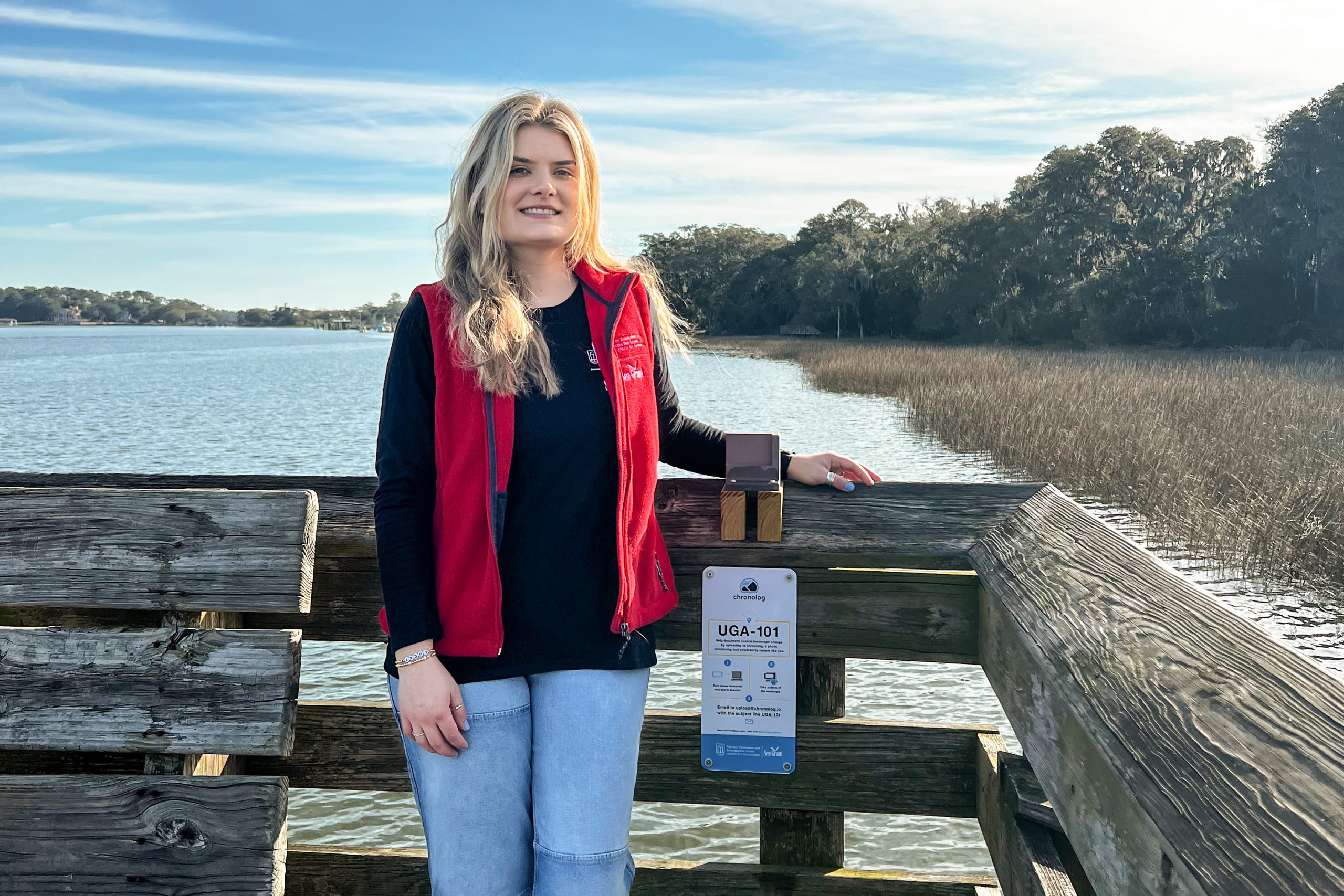
When I arrived at Skidaway Island back in September 2022 to begin my year-long Marine Education Fellowship at the UGA Marine Education Center and Aquarium, it didn’t take long for me to hit the trails that are practically in my backyard! The observation platform along our Jay Wolf Nature Trail quickly became one of my favorite places on campus. This long boardwalk extends into the Skidaway River, giving visitors the opportunity to sit on the edge of the salt marsh.

Observation platform along the Jay Wolf Nature Trail at the UGA Marine Education Center and Aquarium.
When I first stumbled upon the platform, only the tips of the salt marsh grass could be seen poking through the surface of the water at high tide. On my next visit, the tide was low, exposing mud flats and oyster reefs along the base of the marsh. The Skidaway River rises and falls twice daily and has a tidal range of 6-8 feet. Seeing this tidal cycle in action helped me wrap my head around how Georgia’s expansive tides constantly shape our barrier islands and coastal marshes.
The salt marsh changes on multiple timescales – yearly, seasonally, daily, and even by the hour! This habitat is dynamic and keeps you on your toes. As a marine educator, I teach visiting school groups about the importance of salt marshes in providing protection to properties from storm surges, filtering pollutants, stabilizing sediments, and serving as essential nursery habitat for fish and crab species. Equally important to educating others about this important habitat is understanding its vulnerabilities to threats like sea level rise.
As part of my independent fellowship project, I decided to expand on my interest in this topic by engaging visitors in an effort to improve our understanding of the vulnerabilities of our coastline here on Skidaway Island. Using a technology system developed by Chronolog, paired with community science, I created a way to passively monitor the salt marsh shoreline that stretches along the UGA Marine Education Center and Aquarium, the UGA Shellfish Research Lab, and the UGA Skidaway Institute of Oceanography.

Camryn Arnstein, 2022-2023 Marine Education Fellow, (right) and David Looye, Facilities Manager, (left) install the Chronolog station on the observation platform.
Chronolog is a monitoring tool that uses crowd-sourced images to create time lapses showing changes to a specific environment. At stations setup across the country, visitors can snap a photo on their smartphone and submit it to Chronolog where it is instantly uploaded to an auto-generated time lapse created over time by members of a community. In January 2023, I set up a station at the end of the observation platform, which will allow us to track seasonal and annual changes to the salt marsh along the shoreline throughout the year.
You can view the time lapse of the UGA Marine Education Center and Aquarium shoreline here to see the change captured by visitors through this passive monitoring effort. Even better, you can visit the aquarium and stop by the observation platform yourself to snap a photo and contribute important data that improves our understanding of short- and long-term changes to the marsh over time.

